
Land Surveying You Can Trust
Serving Tennessee with accurate, timely, and dependable surveying services.
Measuring your progress one foot at a time…
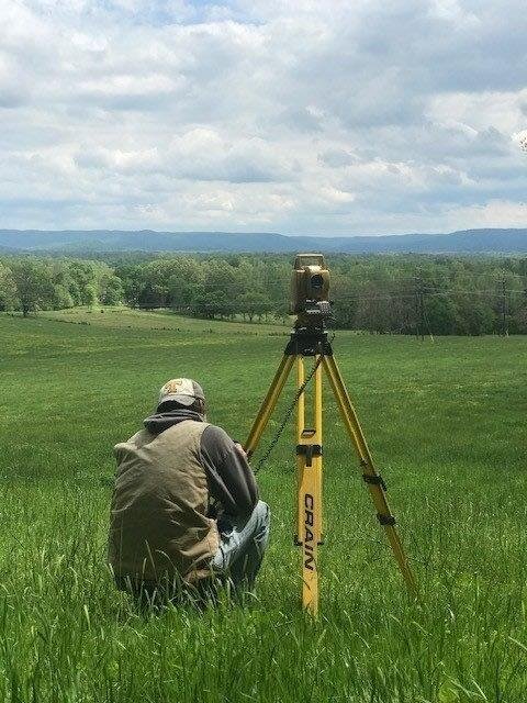
Since 1999, Vick Surveying has provided professional land surveying services for residential, commercial, and municipal projects across Middle Tennessee. With decades of experience, the latest technology, and a strong network of local partners, we offer a clear advantage to every project we take on.
Our team includes licensed surveyors, technicians, and support staff who work together to ensure accuracy, timeliness, and exceptional client service. Whether you’re a homeowner, builder, developer, or municipality, we understand the importance of clear communication, regulatory compliance, and getting the job done right the first time.
At Vick Surveying, we view every job as more than just a project—we see it as an opportunity to earn your trust and support the growth of our local communities.

From boundary surveys to subdivision planning, our work supports everything from personal property improvements to large-scale development. Explore the range of services we offer to see how Vick Surveying can help move your project forward with precision and confidence.
Professional Land Surveying Solutions

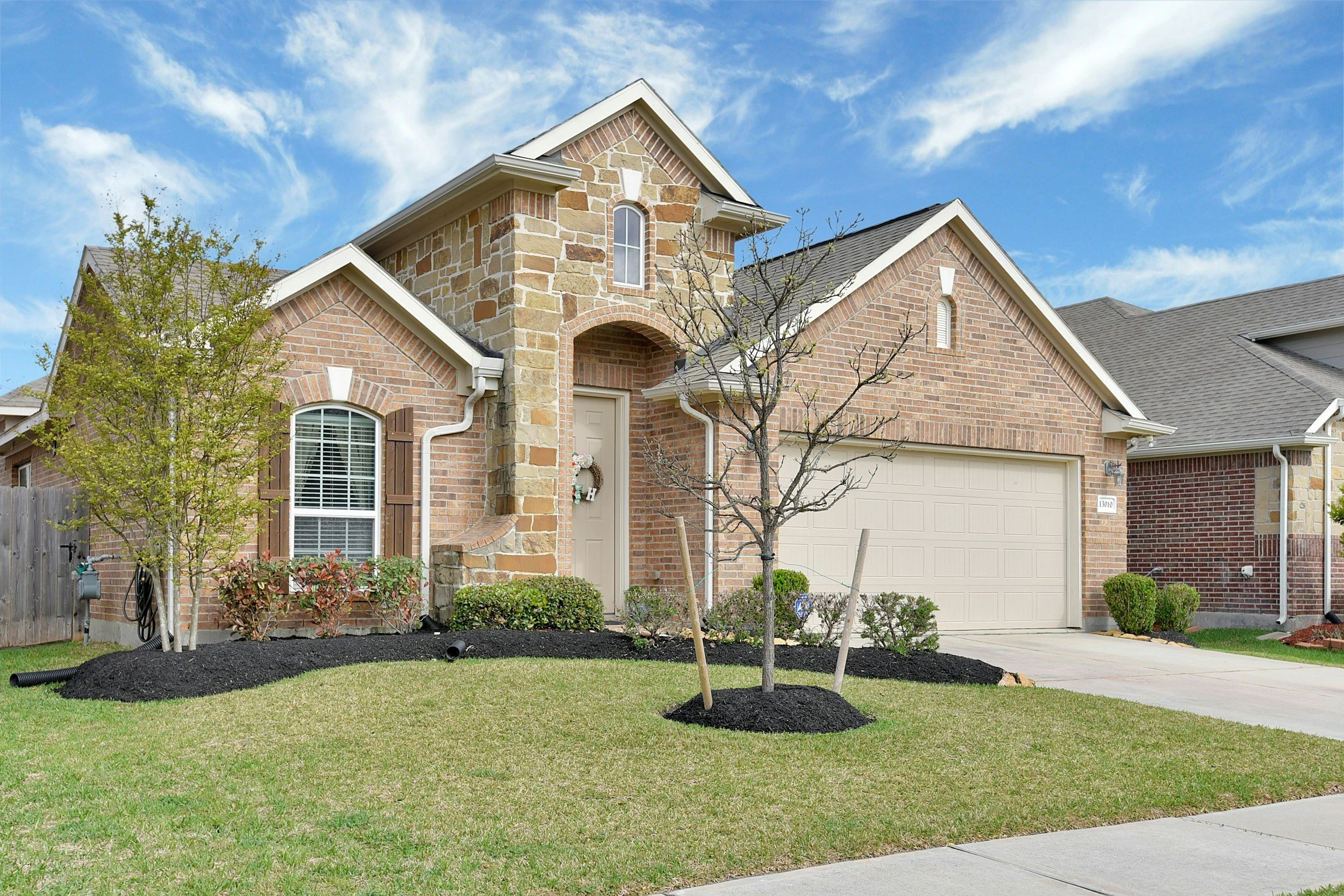
Boundary Survey
Defines exact property lines for legal, construction, or ownership purposes.

Topographic Survey
Maps land elevation, contours, and features for site planning and engineering.
As-Built Survey
Documents completed construction to verify that it matches approved plans.

Design Land Development
Planning and design support for subdividing and improving property for future use.

Conservation Easement Aide
Mapping and concept plans for the highest and best yields.

Advertising Flyers
Professional, survey-based property maps and visuals for land auctions.

Subdivision Design
Designs layouts, roads, and infrastructure plans for residential or commercial development.

Flood Certifications
Provides necessary data for the completion of FEMA forms and applications.

Aerial Photo Overlays
Adds survey data to aerial imagery for enhanced site analysis and presentation.

USGS/LiDAR
Topographic Overlays
Integrates data with USGS topo maps and LiDAR imagery for large-scale planning or environmental review.

Construction Layouts
Marks precise building, utility, and infrastructure locations based on engineered plans.
Get in Touch
For expert land surveying services tailored to your unique needs, contact Vick Surveying today and let our seasoned professionals guide your project with precision and dedication.