
Vick Surveying – FAQS
We know the land surveying process can feel complicated, especially with all the moving parts and third-party involvement. That’s why we’ve compiled answers to the most common questions clients ask throughout the process. This section will grow over time as we identify more ways to help you stay informed and confident in every stage of your project.
-
Survey timelines vary based on your location, the complexity of the job, and our current project queue. Simple boundary surveys in easily accessible areas may only take a few weeks, while larger or multi-step projects involving Planning Commissions, TDEC, or third-party soil scientists can extend over several months. If your survey has already been scheduled, your current status will be updated through our portal and emails. If not, we’ll be in touch soon to confirm scheduling once we’ve reviewed your file.
-
Standardly, it takes approximately 3 weeks from the completion of field work to finish the drafting and internal review of your documents. If your project requires approval by a municipal entity such as a Planning Commission, the final timeline will depend on their review and approval. Once everything is finalized and payment is received, you’ll receive digital copies via email and printed, signed, and stamped copies via mail (unless pickup was requested).
You will typically receive:
PDF of your Plat Drawing or Topographic Overlay (if applicable)
PDF of the Legal Property Description
Hard copies of each document (if mailing selected)
General Survey Timelines & Status Updates
-
No. Drawings and legal documents are only included if requested during the bidding process. The only exceptions are:
ALTA Surveys: Always include both drawings and legal descriptions.
LIDAR/Topo Surveys: Typically include drawings but not legal descriptions.
-
Yes. If you’re unsure what you need, we’ll walk you through it during the bidding process. We proactively ask whether you need legal descriptions or drawings, but it’s always best to confirm.
Service Types & Deliverables

-
After submission, we wait for feedback from the Commission or applicable board. If your presence is required at a formal meeting, we’ll inform you of the date and location. Not attending a required meeting may delay your project. If your plat is approved administratively (without a meeting), we’ll finalize your documents and follow up with delivery.
-
Yes, if you’re subdividing a property and the resulting lots do not meet exemption requirements. Most counties require TDEC Lot Evaluations for lots under 5 acres that are not connected to sewer and don’t have an existing septic system. Soil testing must be performed by a licensed soil scientist.
-
In most cases, yes. After the soil scientist completes their work, you are responsible for sending their results—along with your updated plat—to TDEC. Vick Surveying does not submit these documents on your behalf unless otherwise discussed.
-
Typically, no. We do not automatically receive copies of your soil results. Please confirm with your soil scientist and send us a copy directly to avoid delays.
Planning Commission, Soils, & TDEC Process
-
You asked to pause the project due to changing needs, property sale/auction status, or personal timing.
We requested missing documentation such as a concept plan, title commitment, or foundation layout.
You need to coordinate access with a neighboring property owner.
You’re waiting to close on a property before continuing.
The Planning Commission requested revisions or further requirements.
There’s an unresolved boundary dispute or encroachment issue.
When Projects Get Delayed or Placed on Hold
-
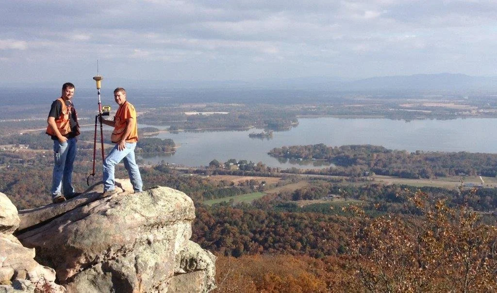
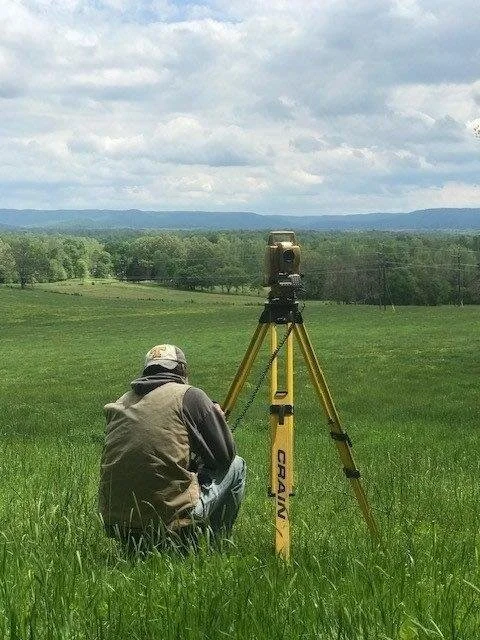
Only if the project involves more than a basic boundary survey. If we are subdividing your property, laying out a proposed house/building foundation, or resolving boundary disputes, your presence is required on-site. If you're unsure, we’ll let you know when scheduling.
-
Unlock all gates or provide codes in advance.
Notify adjoining property owners if access to your site involves shared or neighboring land.
Make sure pets or livestock are secured and out of the way.
Ensure that all heirs are in agreement before a survey related to inheritance.
Communicate any known hazards or site conditions to our team ahead of time.
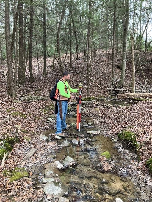
Preparing for Fieldwork
-
You’ll receive automated texts and emails as your project moves forward. These include explanations of your current status and any needed action. You can also log into your client portal anytime to view your progress, download documents, and more.
-
We’ll make it clear. If any action is required from you—payment, paperwork, scheduling, etc.—you’ll receive a prompt through email, text, or a direct call from our office.
Navigating Your Portal & Communication
-
Register your documents: If you plan to record your plat or legal description, you must do so at your local Register’s Office. Vick Surveying does not file documents on your behalf.
Monitor your property markers: TN law places responsibility on the property owner to maintain or monitor survey stakes after installation. We recommend placing T-posts or similar permanent markers if long-term visibility is needed.
Be aware of property tax changes: Your tax assessment may change after filing survey documents with the local office.
Post-Survey Action
-
No. Your quote reflects the agreed-upon scope of work. Additional revisions or changes requested after initial delivery—such as moving property lines, resurveying corners, or redrafting plats after Planning Commission rejection—will incur additional fees.
-
Yes. Resetting markers or revisiting the field requires additional time and labor, which are not included in your original quote unless otherwise stated.
-
Quotes are based on the project details at the time of bidding. If those details change (e.g., more work is added, field conditions differ, or planning approvals require resubmission), the price may change accordingly. We’ll inform you of any new charges before moving forward.
Cost & Revisions Clarification

Still Have Questions?
We’re here to help. If your question isn’t covered above or you’d like to speak with someone directly, click the button below to visit our Contact Us page. Our team will be happy to assist you.